
Little Elm ZIP Code Directory Coverage
The research supports two Little Elm ZIP and city-line examples, not a universal boundary register. One is the principal Little Elm postal line documented by the local USPS facility. The other is an official town service site with an Aubrey postal line. Those examples are strong enough to guide a record search, but they do not establish every address assigned to either area. Keep the source type visible in the notes: a USPS facility, a town facility, a tax mailing field, a tax situs, and a municipal GIS layer each answer a different geographic question.
| ZIP | Supported Little Elm coverage | Post office or city line | Boundary note |
|---|---|---|---|
| 75068 | Principal Little Elm mailing area supported by the USPS facility and many town addresses | Little Elm, Texas | USPS facility at 1012 W Eldorado Pkwy; the complete boundary and neighboring coverage were not located. |
| 76227 | Official north-side Little Elm service example at Navo Road | Aubrey, Texas | Library kiosk at 1801 Navo Road; do not infer that all 76227 addresses are in Little Elm. |
The coverage table is intentionally limited to official address evidence found for Little Elm. No official USPS ZIP polygon or complete town-address list was located in the research. A result should therefore say whether it came from a postal facility, town address, parcel source, or municipal layer instead of silently treating all ZIP matches as identical.
Little Elm Postal Line Evidence
The USPS Little Elm facility listing documents 1012 W Eldorado Pkwy, Little Elm, TX 75068. It supports a postal service point and the principal Little Elm mailing line. It does not draw the legal town boundary, identify every nearby delivery route, or show who receives mail at a particular address. Record the displayed city, ZIP, and date checked before comparing that result with a parcel or town map.
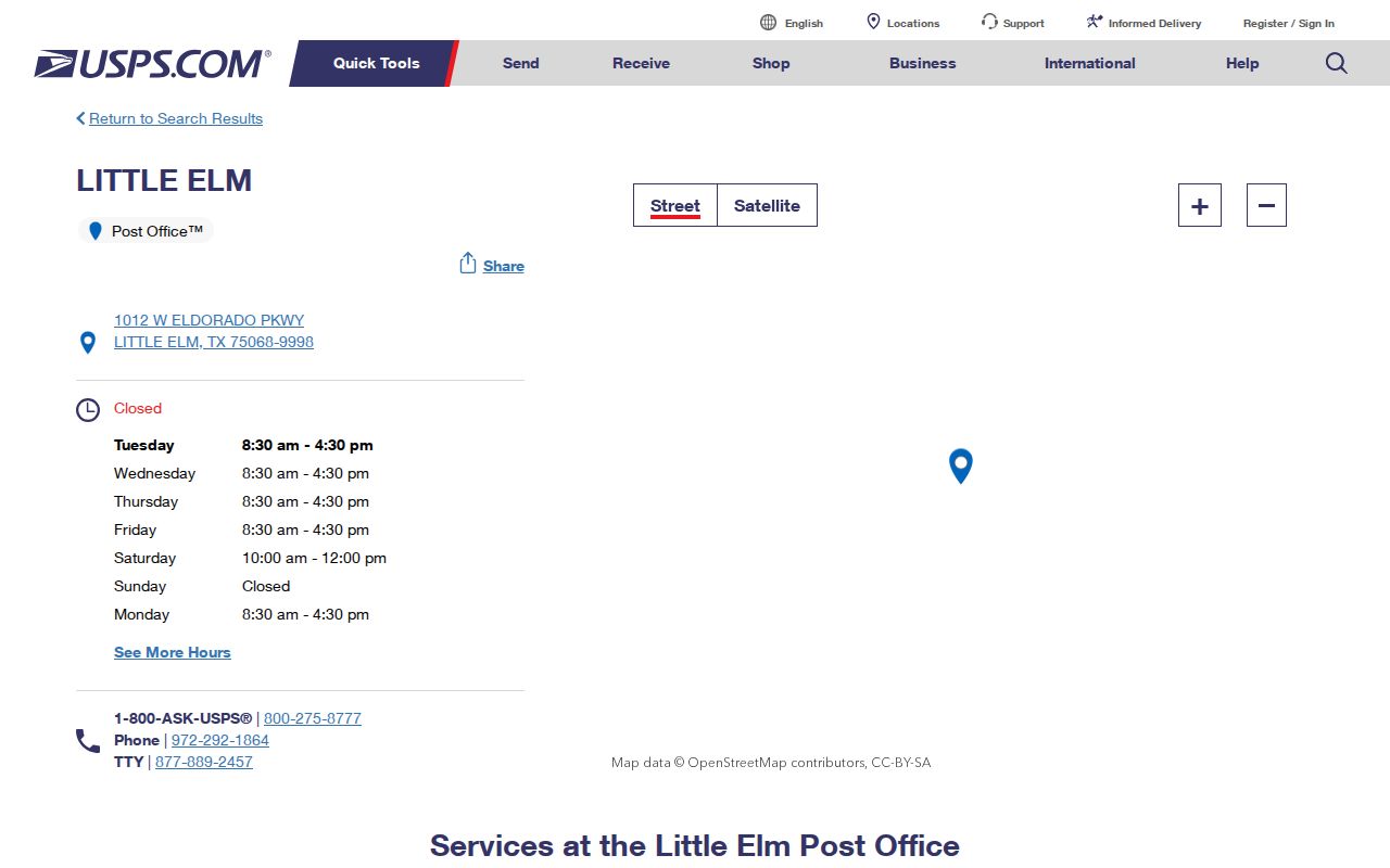
The USPS listing is a useful starting point for 75068, but the next check should still be the exact street address and the record system being searched.
The town’s Library Kiosk page supplies the local counterexample: a Little Elm service at 1801 Navo Road with an Aubrey, TX 76227 address line. The kiosk was installed in summer 2024 and opened September 25, 2024. This documented mismatch is why a ZIP code directory must preserve both city names rather than overwrite the displayed postal line with an assumed town name.

The north-of-US-380 kiosk proves the address line for that town facility, not the postal assignment of every northern Little Elm parcel.
Finding Residents by Little Elm ZIP Code
Use a ZIP as a filter only after the address evidence supports it. Start with the exact USPS city, state, and ZIP string, then compare property location, owner mailing field, municipal layer, and tax jurisdiction. The county tax form supports owner name, owner address, property location, and account-number searches, but the research did not establish a county tax ZIP filter. DCAD and county GIS supply parcel and boundary context, while the state voter-file request has mailing-address reduction options that are not a USPS boundary tool.
- Confirm the address line through USPS or the official town source that published it.
- Search the county tax route by property location, not by an assumed postal city, and retain the situs and mailing-field labels separately.
- Open the DCAD or county GIS parcel and compare municipal limits, subdivision, precinct, and tax-jurisdiction context.
- Test the second ZIP or city spelling only when the address evidence supports it, then state which source supplied each result.
Once the ZIP narrows the area to a named road, the Little Elm By Street directory has the parcel and deed workflow for the exact address. ZIP matching should stay a geographic screen, not a replacement for an address-level record.
Little Elm ZIP Search Fields
The Texas HOA management-certificate search offers a documented ZIP-capable administrative search route. Its filters can help find association records by geography, but its results are not an exhaustive list of associations, members, or residents. The town’s Community Connections material and the state search should be read as association geography and recorded-certificate context. Keep the filter used with the result date, because an association’s correspondence field and a parcel’s physical location are different record roles.
| Search field | How it narrows the route | Limit on interpretation |
|---|---|---|
| Association name | Finds a named management-certificate record. | Does not identify a household at a street address. |
| County | Can be set to Denton for the county record context. | County coverage is broader than Little Elm town limits. |
| City | Tests the city field stored for the association route. | A stored city is not a municipal-boundary ruling. |
| ZIP | Filters the administrative search by ZIP. | A ZIP filter is not a complete resident or parcel list. |
| Association type | Separates record categories in the search interface. | Type does not establish membership or occupancy. |
The state voter-file form also distinguishes permanent and mailing address components and permits a Texas mailing-address reduction. It requires a notarized affidavit, a $75 deposit, and a noncommercial-use promise, with a stated no-later-than-15th-day furnishing rule under Election Code section 18.066. That state request is governed by its own use restrictions and should never be presented as a postal-boundary map.
Note: A ZIP field describes the source’s filter or address component, not a complete geographic definition of Little Elm.
Little Elm ZIP Code Boundary Limits
Postal delivery boundaries and incorporated limits do not line up by rule. The town FAQ states that a Little Elm post-office or driver-license label does not prove an address is inside town limits. The reverse also occurs in the documented kiosk example, where the town facility carries an Aubrey mailing line. Compare the postal city, tax situs, municipal-limit layer, tax jurisdiction, and annexation or plat record. A map pin alone is not a legal survey, and a tax owner mailing ZIP does not prove who is at the parcel.
These terms help keep a ZIP code directory from blending delivery, parcel, and boundary data.
- ZIP and ZIP+4
- A ZIP is the main postal routing code; ZIP+4 adds a more specific delivery segment and does not define a city limit.
- Postal city line
- The city name USPS displays with an address. It can differ from the municipality that governs the parcel.
- PO-box ZIP
- A postal code assigned for post-office box service. It does not prove the physical location of a home or parcel.
- Carrier route
- A delivery grouping used for mail operations, not a town-boundary or ownership record.
Little Elm ZIP Address Labels
Field labels matter as much as the digits in a ZIP. The county tax route separates owner mailing address from property location. DCAD can display owner-address schema, legal description, subdivision, and parcel context. A voter file may distinguish permanent from mailing address. An association certificate may use a correspondence address. None of those labels should be restated as a current residence or a municipal fact without the source that actually answers that question.
| Postal city | Use USPS or an official published address; it identifies the delivery line, not town limits. |
|---|---|
| Tax situs | Use the property-location field for the parcel’s site address; it is distinct from owner mailing data. |
| Municipal layer | Use the town or county GIS boundary context to test whether a parcel lies in Little Elm. |
| Tax jurisdiction | Use the jurisdiction code as an additional administrative check, not as a postal assignment. |
| Association address | Use it as a certificate or correspondence field, not evidence of every member’s location. |
This comparison prevents a small but serious error: changing “Aubrey, TX 76227” or “Little Elm, TX 75068” into a claim that is broader than the official record actually says.
Little Elm ZIP Code Map Context
The Town of Little Elm GIS page is the local map route for municipal and service context. County GIS adds roads, boundaries, precincts, emergency districts, floodplain, and transportation layers. DCAD parcel data can provide parcel geometry and an identify workflow. The research did not locate an official downloadable USPS ZIP-boundary polygon, so use these tools to compare layers rather than presenting a town map as a postal map.
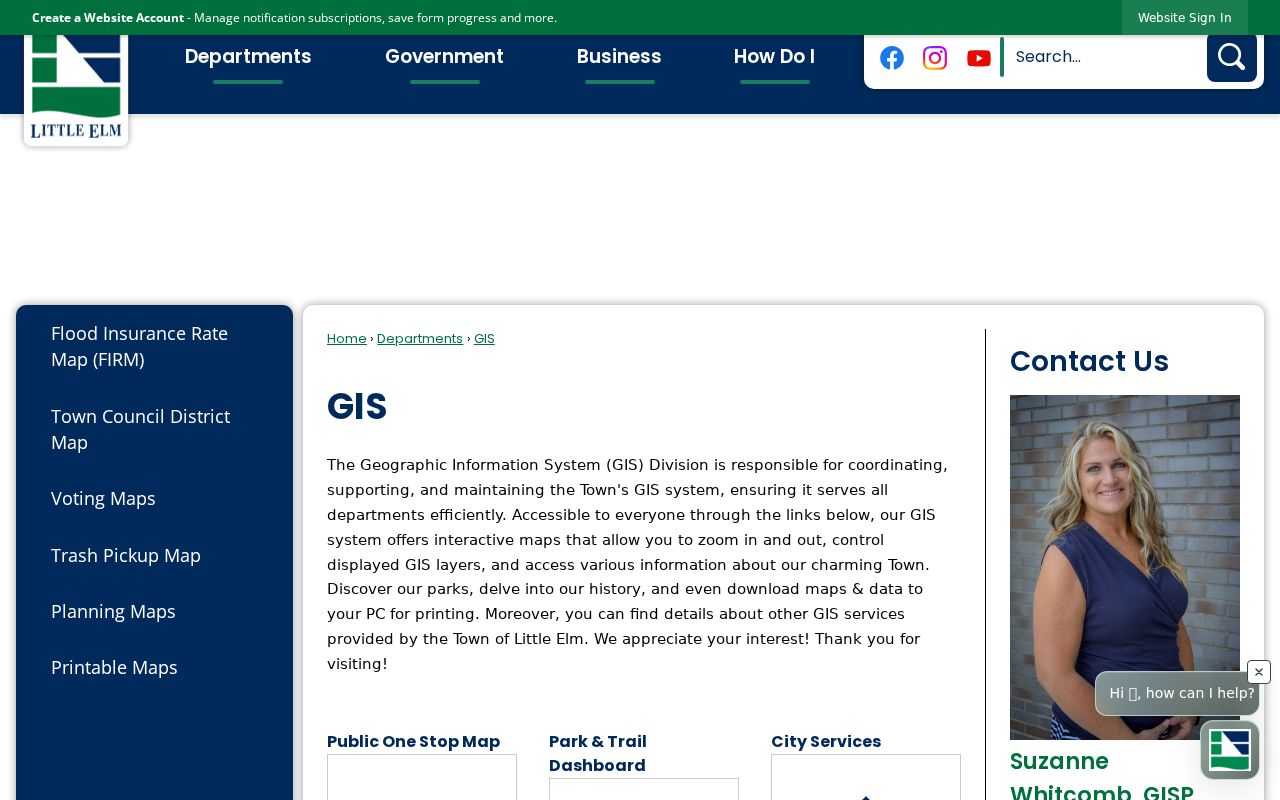
When a parcel is selected, note the map scale, layer name, source date, and whether the result is a parcel, jurisdiction, precinct, or other context layer.
DCAD’s REST parcel service has a 2,000-record maximum, and the complete current UI filter list was not published. Its map is therefore a location and parcel tool, not a bulk ZIP resident search.
Little Elm ZIP Code Directory Gaps
The clearest local lesson is the 76227 kiosk mismatch: a postal line can differ from the town name even on an official Little Elm facility. The research did not find a complete Little Elm 76227 address list, exact ZIP boundary, or a full ZIP-to-subdivision table. It also did not find a complete public resident roster that can be filtered by ZIP. Those are gaps to report, not facts to fill with nearby addresses.
For a difficult address, preserve the original USPS string, compare tax situs and mailing fields separately, inspect the parcel and municipal layer, then consult town archive material for annexation, plats, roads, or public notices when the city line and jurisdiction conflict. Recheck USPS and municipal GIS before relying on a live entry because postal labels can change independently of annexation or parcel ownership.